
REAL ESTATE
Visualize Tomorrow’s Buildings
Photo Accurate Renderings
We use high-resolution drone imagery to create detailed, realistic visualizations of proposed condos, hotels, and commercial buildings. Our renderings help you visualize the future of your projects with unparalleled accuracy.
One Beverly Hills
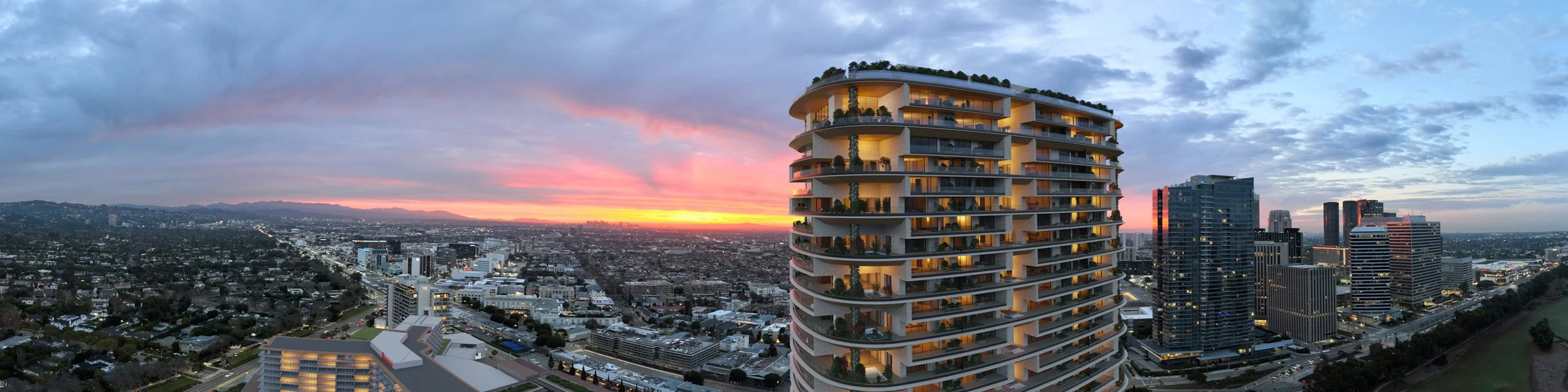
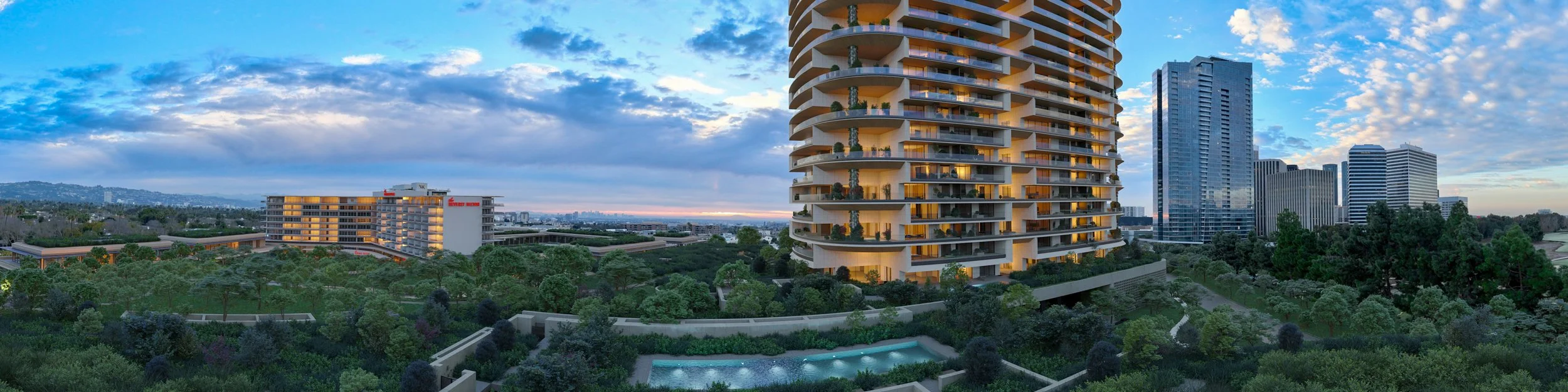
Superimposed Accurate Models in 4k Video
We use high-resolution drone imagery to create detailed, realistic visualizations of proposed condos, hotels, and commercial buildings. Our renderings help you visualize the future of your projects with unparalleled accuracy.
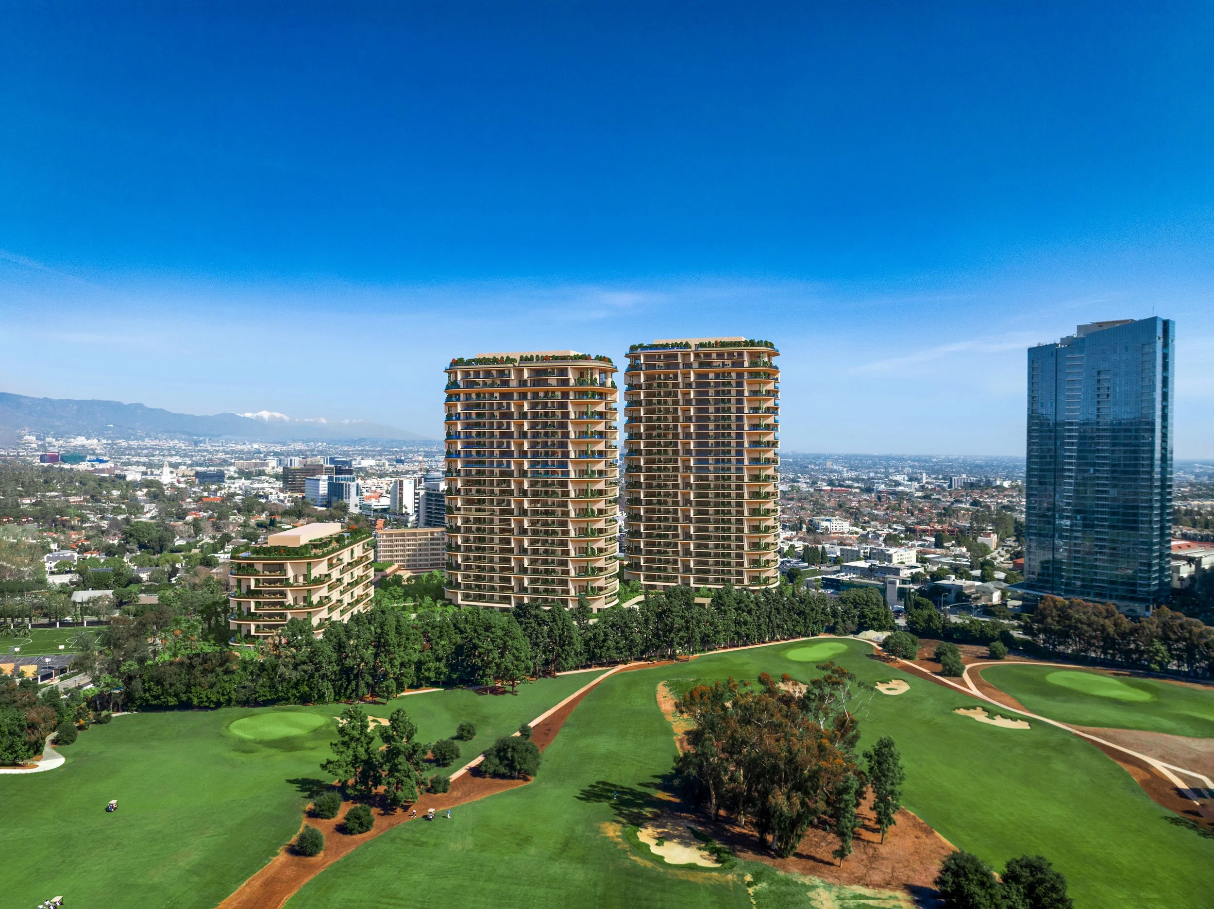
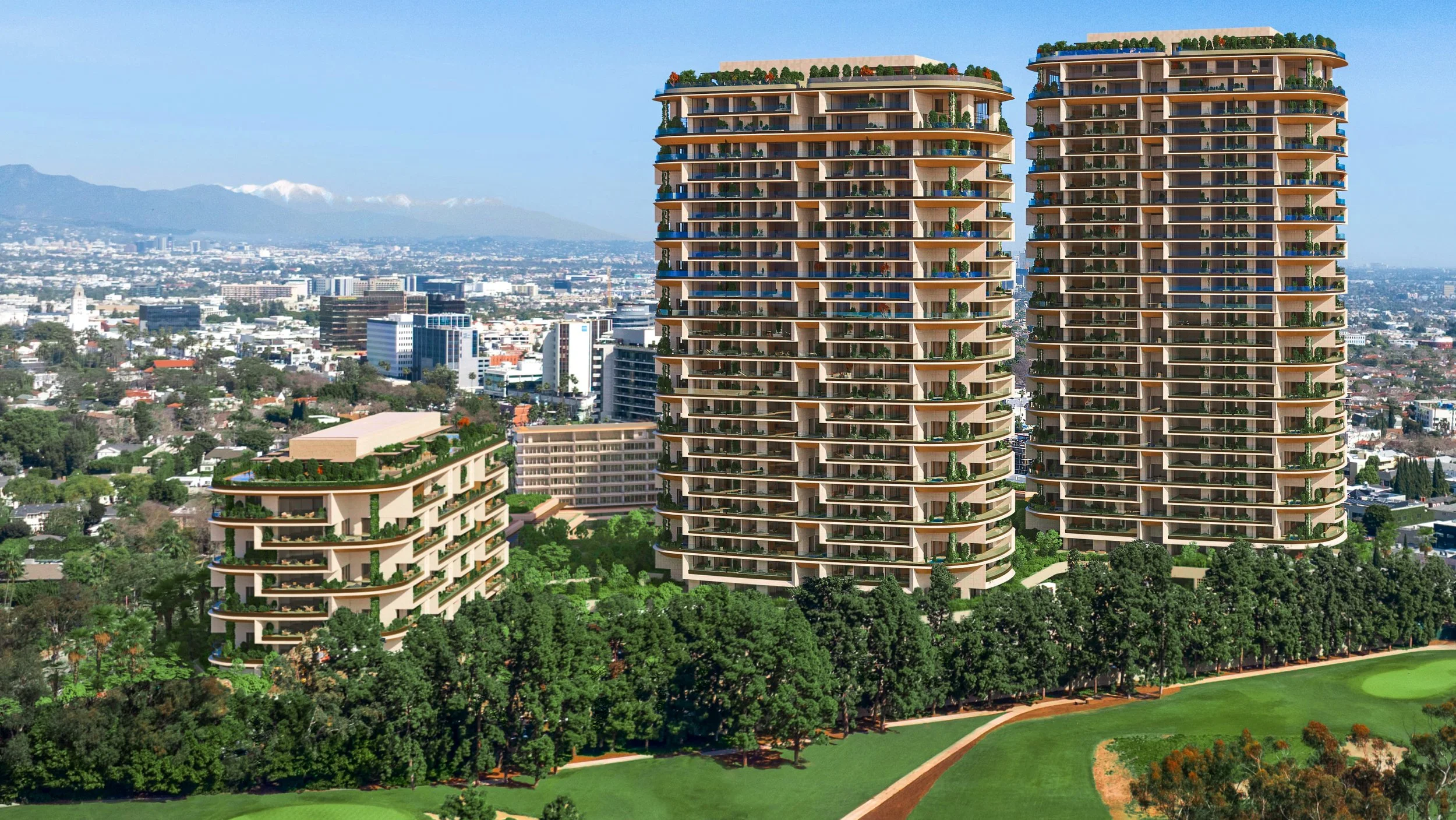
Amancaya
Lot Line Mapping in real footage
Before you invest, let us survey your land from the sky. Our drones provide comprehensive data on topography, and accessibility, ensuring your project starts on solid ground.